About Nepal
|
Key Points
|
Content
|
|---|---|
|
Map references:
|
Asia
|
|
total: 147,181 sq km
land: 143.181 sq km water: 4,000 sq km |
|
|
Land boundaries
|
total: 2,929 km
border countries: China 1.236 km, India 1.690 km |
|
Coastline
|
0 km (landlocked)
|
|
Maritime claims
|
none (landlocked)
|
|
Climate
|
varies from cool summers and severe winters in north to subtropical
summers and mild winters in south |
|
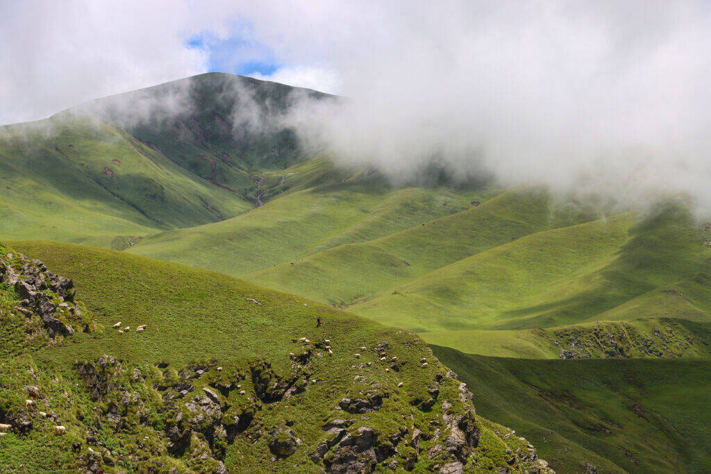
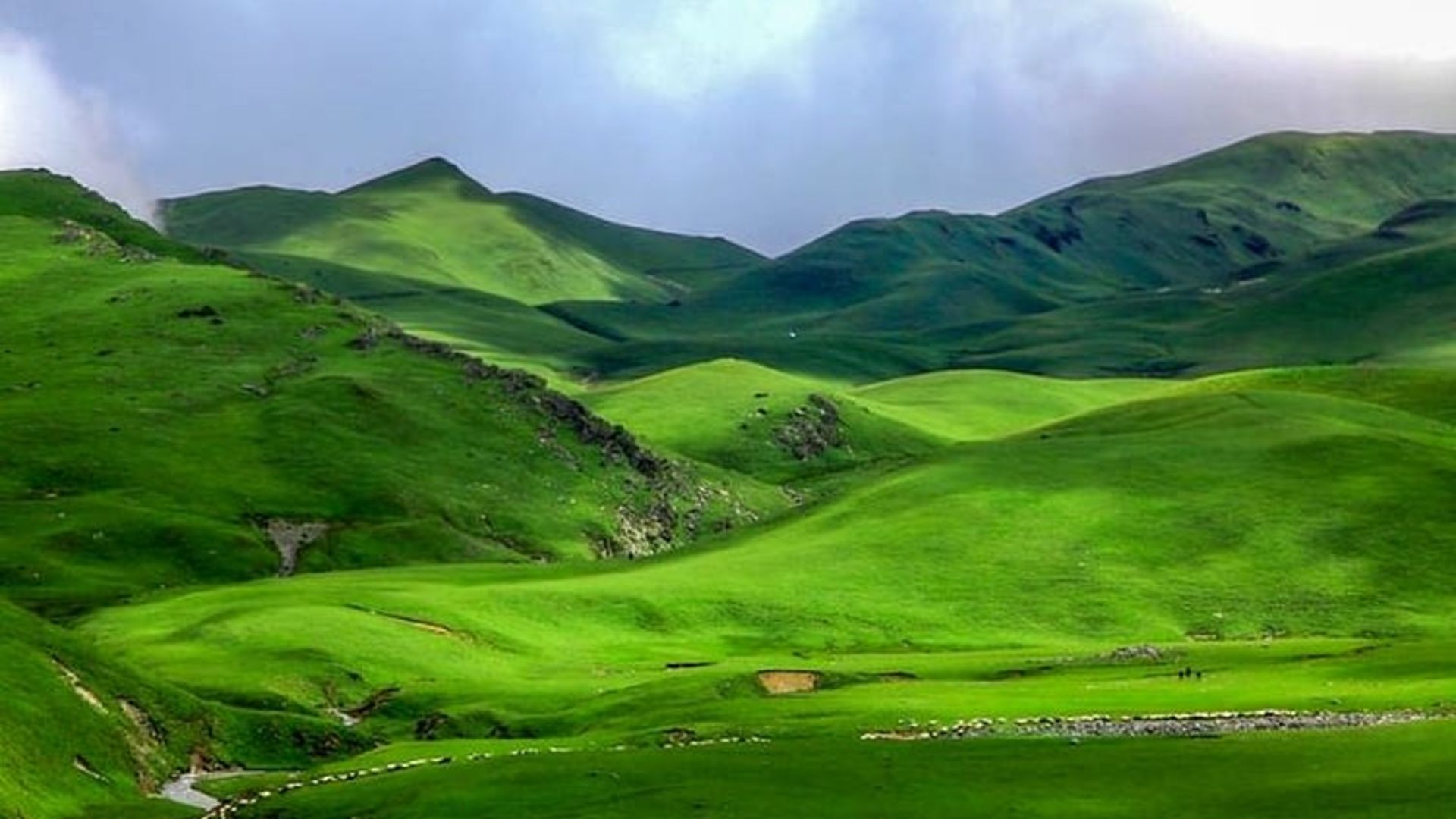
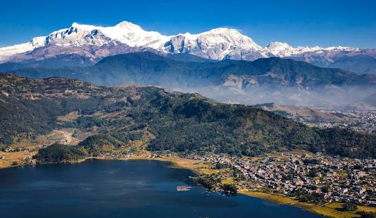
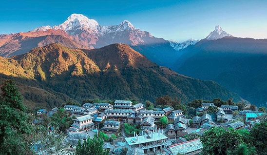
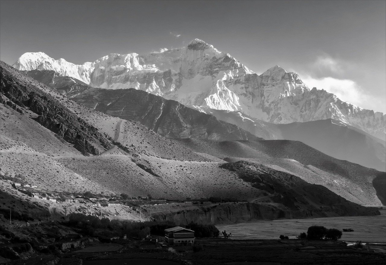
Terrain
|
Teral or flat river plain of the Ganges in south, central hill region,
rugged Himalayas in north |
|
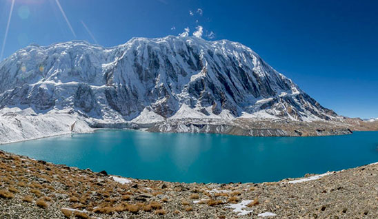
Elevation extremes
|
lowest point: Kechana Kawal 70 m
highest point: Mount Everest 8848.86 m |
|
Natural resources
|
quartz. water, timber, hydropower, scenic beauty, small deposits of lignite, copper, cobalt, iron ore
|
|
Land use
|
arable land: 21.68%
permanent crops: 0.64% other: 77.68% (2001) |
|
Irrigated land
|
11.350 sq km (1998 est.)
|
|
Natural hazards
|
severe thunderstorms, flooding, landslides, drought, and famine depending on the timing, intensity, and duration of the summer monsoons
|
|
Environment
|
deforestation (overuse of wood for fuel and lack of alternatives)
|
|
Current issues
|
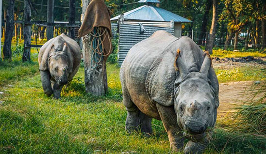
contaminated water (with human and animal wastes, agricultural runoff and industrial effluents): wildlife conservation: vehicular emissions.
|
|
International agreements
|
Tropical Timber 83. Tropical Timber 94. Wetlands signed, but not ratified: Marine Life Conservation.
|
|
Geography Note
|
Landlocked: strategic location between China and India: contains eight of world:s 10 highest peaks, including Mount Everest-the world's tallest on the border with China
|
